Issue 106 - December 2023
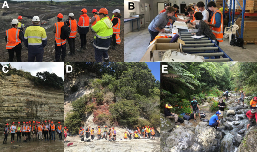
Development and progress of the Master of Engineering Geology degree at the University of Auckland

Issue 105 - June 2023
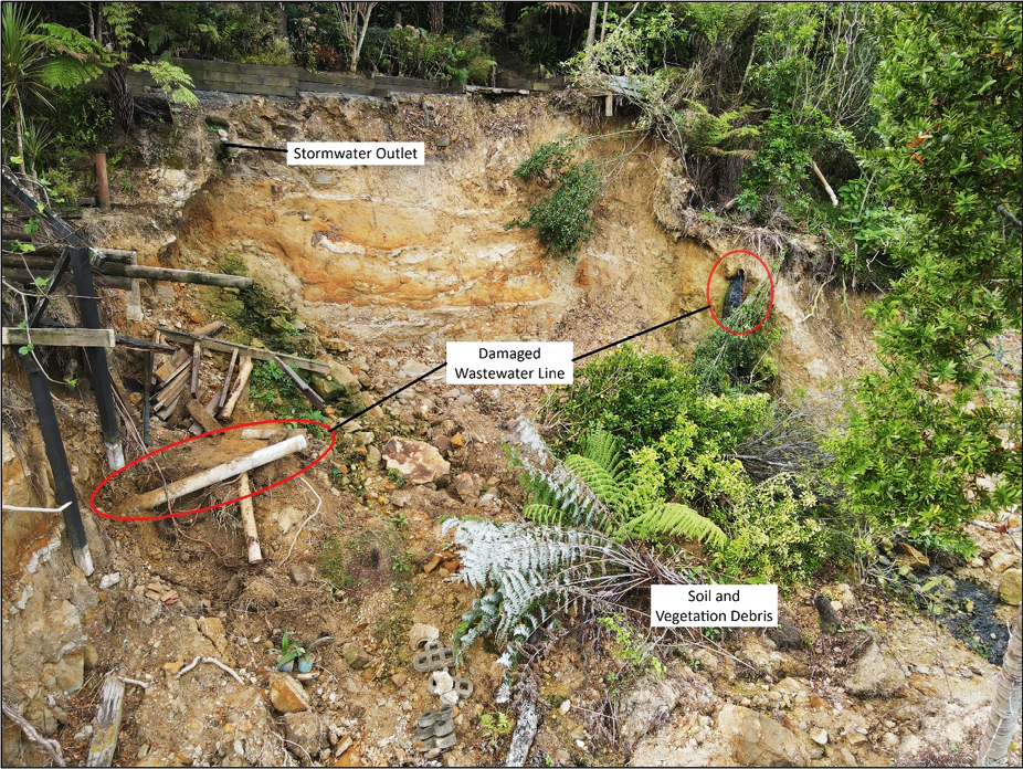
The invaluable use of drone imagery as a tool in landslide assessments
