

Course
Advancing GIS skills for Geotechnical Investigations
09 April 2026
This new, more advanced course aims to cover a range of GIS tasks encountered during typical geotechnical investigations. This will be suited for geotechnical practitioners who have previously done the introductory course or already have reasonable experience in GIS software, including QGIS.
This intermediate level course will cover a range of tasks that may be encountered during the life cycle of a ‘typical’ geotechnical investigation, including:
- Desktop compilation
- Importing “foreign” spatial formats (Google Earth and CAD)
- Georeferencing scanned plans and maps
- Accessing and visualising open data via webservices
- Data limitations relevant to your investigation
- Utilising job registers in GIS
- Data structure considerations
- Geocoding addresses from existing registers
- Project variables in legends (see below)
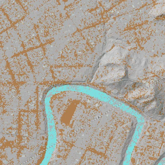
- Elevation data
- Working with point clouds
- Merging downloaded raster tiles
- Visualising DEMs for mapping and analysis
- Desktop Mapping and analysis
- Data models, styling and authority tables
- Digitising geomorphic features
- Symbolising geological survey vector data
- Visualising ground displacements from survey data
- Cross-sections
- Analytical Tasks – Geoprocessing
- Introduction to advanced geomorphic algorithms
- Predicting surfaces through interpolation
- Raster calculations
- Volume analysis
- Slope susceptibility
- Map production
- Legend management
- Populating plans with project information variables
Digital datasets, AS1726 compatible symbol sets and course notes will be provided for download.